F3: No Data, No Assessment
Let’s create a new indicator: the number of smart phone pictures taken in a session could tell us how interesting the slides are. This session on risk and vulnerability assessment tools ranked very highly.
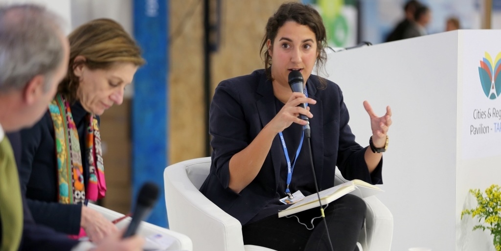
The facilitator of the session, Nico Tillie (Vice President of the World Council on City Data), gave a brief introduction to risk and vulnerability assessment tools. The four presentations that followed, from four parts of the world and with four different methodologies and approaches, showed the variety of urban risk and vulnerability assessments.
Kenshi Baba (Professor at Hosei University, Tokyo) introduced a framework for three measures of resilient policies. In the process, experts and local government officials, as well as the general public and stakeholders, identify and rank indicators both objectively (experts) and subjectively (local governments and general public). The results were presented and discussed in a Public Forum of the UN 3rd World Conference on Disaster Risk Reduction in Sendai.
Tarryn Quayle from ICLEI Africa introduced one of their “most exciting projects”, which aimed at assessing the risks and vulnerabilities regarding water and waste water in six African municipalities. One of the interesting observations was the high turnover of local staff and the lack of knowledge management.
“We observed there really is no data in the city.”
Their study addressed both the city and community levels, using both qualitative and quantitative data as well as site visits, resulting in a geographical representation on the city’s progress towards water and sanitation management.
When Hurricane Odile hit La Paz, Mexico, Juan Carlos Vargas-Moreno received a phone call reporting that his risk distribution assessments had been proven correct. His team from GeoAdaptive had come to the city to conduct a spatial vulnerability and resilience assessment.
“We wanted to understand the real effects, both economically and socially. We could show that all districts were affected differently.”
Data on housing, energy, road systems, potable water, education and health was collected within four months, and the GIS-maps indicated how to increase resilience in the city.
One of the conclusions that Efrén Feliu (Climate Change Manager for Tecnalia, Spain) drew from the vulnerability screening and adaptation methodology that he presented probably holds true for all assessment projects: an iterative interaction between the research team and the municipality is highly valuable.


